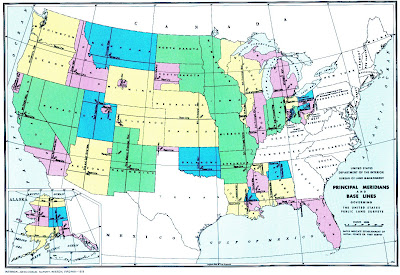
A public land survey system (PLSS) map is a way of subdividing and describing land in the United States that is owned by the Federal Government for the benefit of American citizens. This is a PLSS map of the entire United States and shows the baselines and principle meridians.
http://gis.nwcg.gov/giss_2006/job_aids/maps_and_graphics/USA_PLSS_Meridians_map.jpg
No comments:
Post a Comment